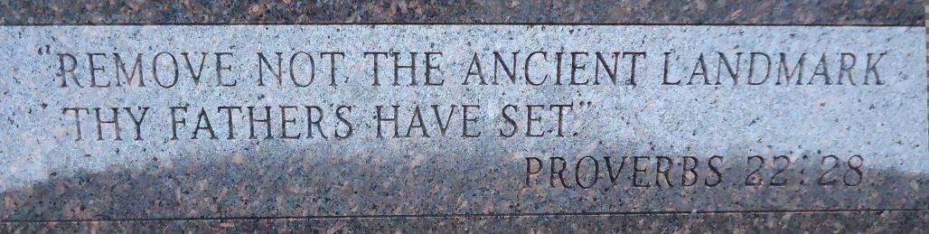
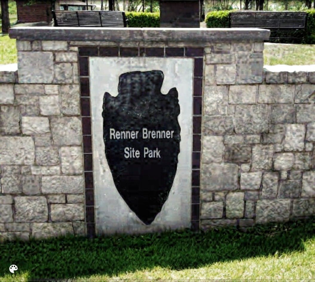
The Renner-Brenner Site Park

This site is not financially associated with the City of Riverside or any other funding, other than your donations. This is a privately owned sited by Gary Brenner for everyone.
When you donate, please make a note on the donation form that this is for archaeology.
You can search this site here. Fill in the blank line with your search, then hit the Google Search bar and it will bring up what it can find here.
Maps & overlays


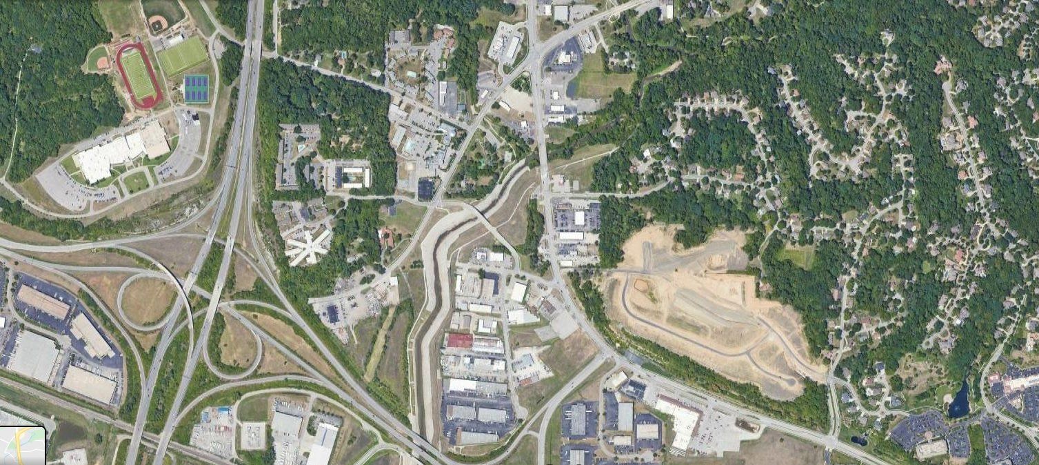
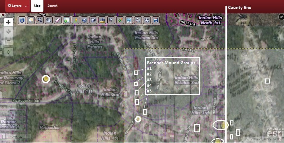
2019 Google Earth Map
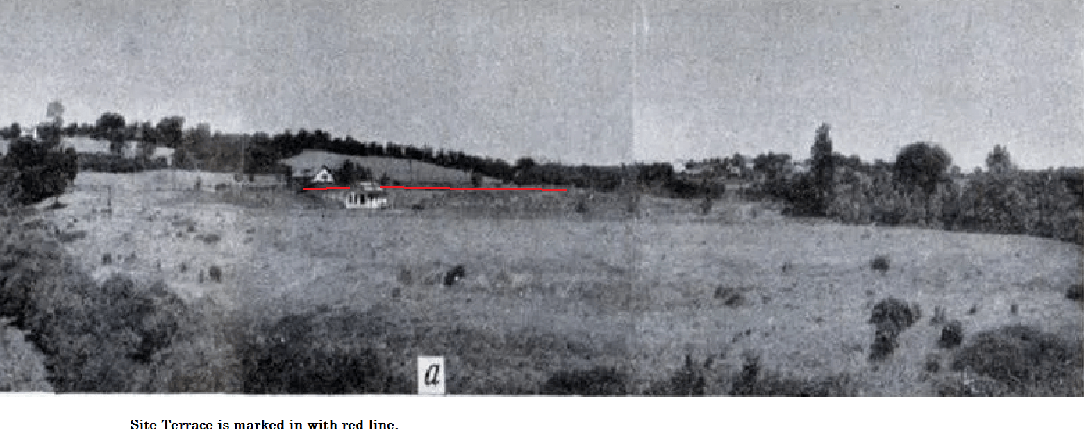
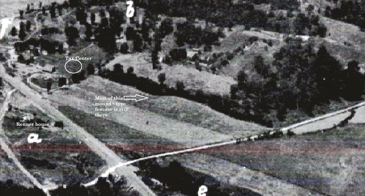
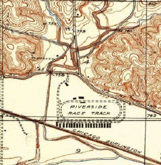
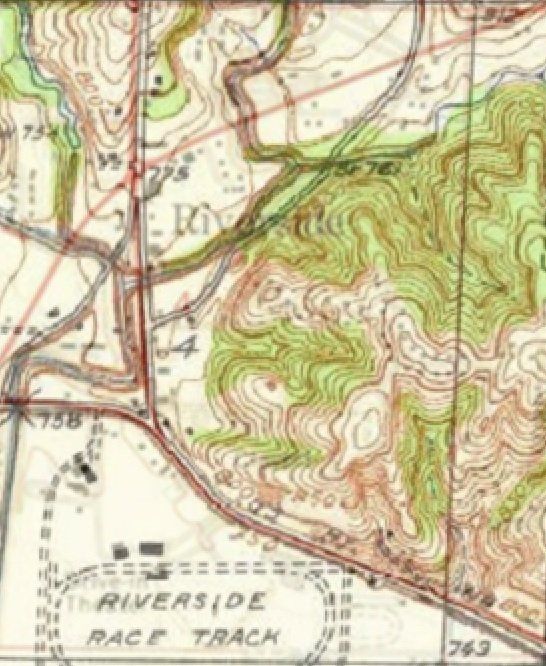
1937 Topography Map
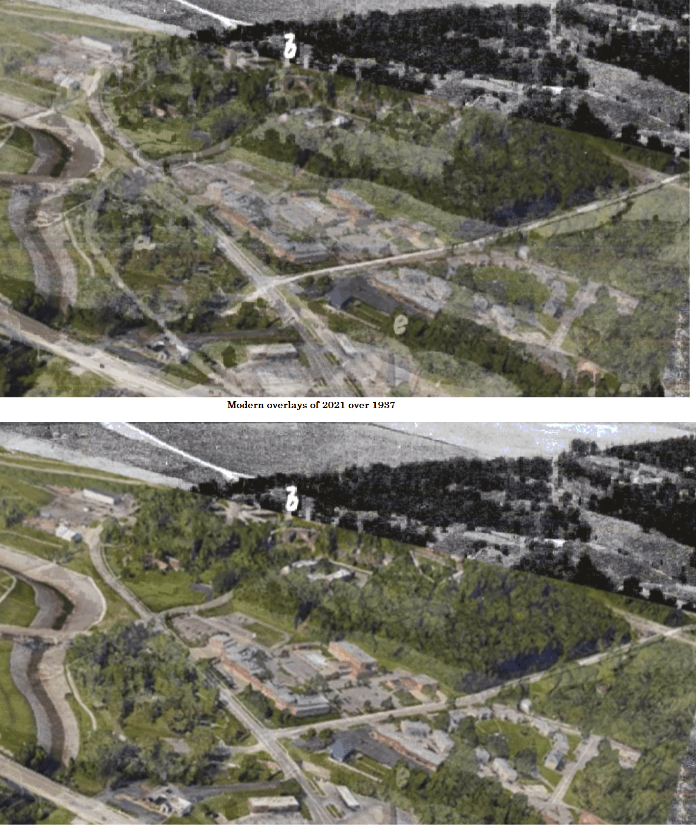
2020 map over 1937 topography
1964 Topography over the 1937 topography
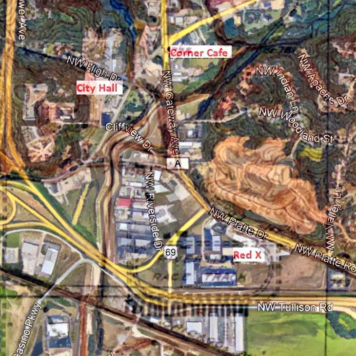
Shippee's 1940's hand drawn map over modern satellite view.

From the Platte County Assessor's Office


People, This page isn't funded by any University, city or organization. It is totally funded by Gary Brenner. Please take a moment to donate anything. The link is through Paypal and goes to my kclongrangeweather Paypal donation account under my wife's name, Karen Brenner. I will respond to every donation.

Contact Details
m80dadfireworks@aol.com
My Other Websites: